Petra Braun · 13 September 2026
Historical Markers Illuminate Pioneer Routes as Conservation Efforts Gain Momentum
Historical markers have long served as visual guides that trace the paths taken by early settlers across North America, and recent projects show these installations gaining renewed attention as groups work to preserve the routes they represent. Researchers have documented thousands of such markers along major trails, with data from federal agencies indicating steady increases in maintenance funding over the past decade. According to the National Park Service, coordinated efforts now focus on both physical restoration and educational outreach that connects these sites to broader environmental goals.
Tracing the Routes Through Established Markers
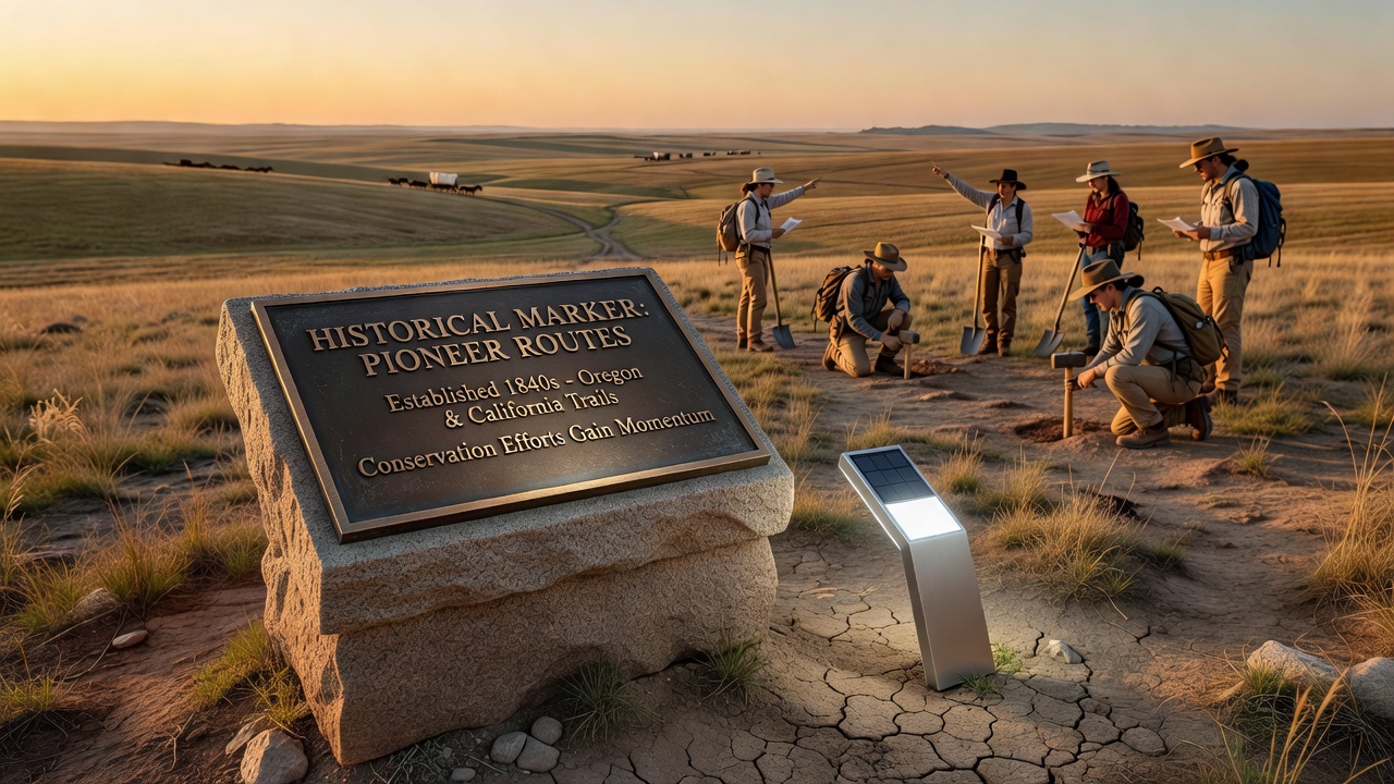
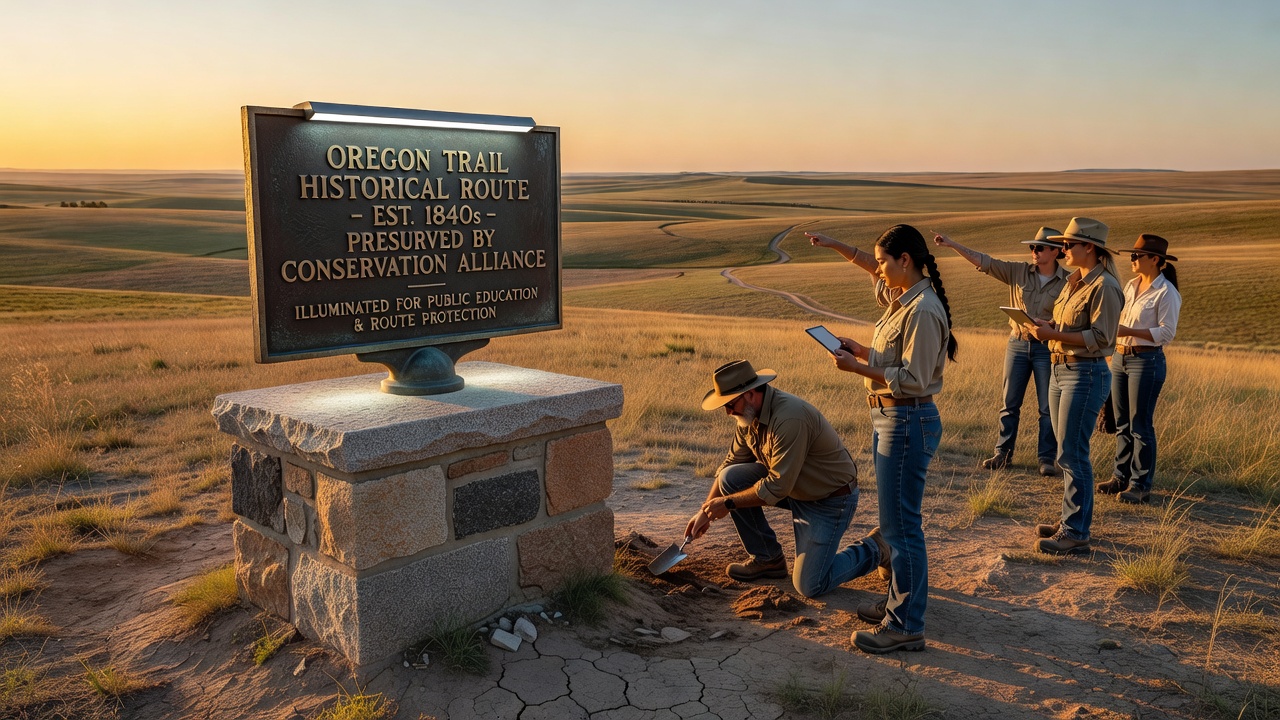
Many pioneer trails, including segments of the Oregon Trail and the Santa Fe Trail, feature markers installed decades ago by state historical societies and local volunteers. These markers typically include metal plaques or stone monuments that note dates, distances, and key events along the way. Observers note that recent surveys reveal over 2,500 such markers still standing across western states, though some have weathered significantly from exposure and require updates. Those who've studied trail documentation find that updated GPS mapping now helps integrate these markers into digital resources, allowing visitors to follow routes more precisely than in previous generations.
Conservation teams have begun pairing marker restoration with habitat protection measures, since many routes cross lands that also support native plant species and wildlife corridors. Figures from the Bureau of Land Management show that collaborative projects completed in 2025 protected an additional 1,200 acres adjacent to marked trail sections. This approach combines historical preservation with ecological considerations, creating sites that serve dual purposes for education and environmental monitoring.
September 2026 Initiatives and Expanded Partnerships
Planning documents released earlier this year outline several marker installation events scheduled for September 2026, timed to coincide with the anniversary of major pioneer migrations. State agencies in Idaho and Wyoming report that new markers will highlight lesser-known feeder routes that connected to the main trails, using materials designed to withstand harsher climate conditions. Researchers involved in these projects have incorporated input from indigenous communities whose ancestral lands overlap with the routes, ensuring that interpretive text reflects multiple historical perspectives.
Funding for the September 2026 work comes from a mix of federal grants, state allocations, and private donations channeled through heritage organizations. Data compiled by university extension programs indicates that visitor traffic at existing marked sites rose 18 percent between 2023 and 2025, providing measurable support for continued investment. Partnerships with academic institutions have also produced new studies that analyze soil erosion patterns around trail markers, helping teams prioritize locations most in need of intervention.
Broader Conservation Context and Supporting Data
Conservation momentum extends beyond marker placement to include trail corridor protection and interpretive center upgrades. Reports from Parks Canada highlight similar initiatives along historic fur trade routes in western provinces, where markers and signage receive comparable attention as part of national heritage strategies. Australian heritage authorities have likewise advanced projects along early settler paths in the outback, demonstrating that interest in marking and conserving such routes spans multiple continents and geographic contexts.
Those tracking project outcomes note that integrated conservation plans often produce ancillary benefits, such as improved public access trails and clearer wayfinding systems that reduce off-route impacts on surrounding land. Evidence from monitoring programs shows decreased unauthorized vehicle use near marked sections after signage improvements, while educational programs tied to the markers reach thousands of students annually through school partnerships. These measurable results reinforce the value of sustained funding and cross-agency coordination.
Conclusion
Historical markers continue to function as both navigational aids and educational tools that keep pioneer route stories accessible, while conservation work expands to address environmental factors alongside preservation needs. Projects planned through September 2026 and beyond rely on data-driven prioritization and multi-stakeholder involvement to maintain these sites for future study and public engagement. The ongoing integration of historical documentation with land management practices provides a framework that other regions have begun to adapt for their own heritage corridors.