Jordan Bauer · 27 September 2026
Unexpected Wildlife Corridors Emerge as Tributary Networks Adapt to Shifting Conditions
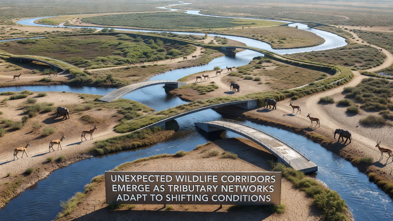
Shifting precipitation patterns and altered stream flows have prompted tributary networks across several regions to form new connections, and these changes have created wildlife corridors that scientists did not anticipate just a few years ago. Data from monitoring stations show increased lateral channel migration in smaller waterways during 2025 and into September 2026, allowing species to move between previously isolated habitat patches with greater frequency.
According to records compiled by the U.S. Geological Survey, several mid-order tributaries in the western United States have experienced repeated overbank flooding that reconnected side channels and abandoned oxbows. These reconnections now function as linear pathways where mammals and reptiles travel between upland and riparian zones. Field teams documented mule deer and coyotes using the same narrow strips of vegetation that formed only after high-flow events in late 2025.
Network Changes and Species Movement
Researchers tracking radio-collared animals report that black bears in northern California now cross what used to be dry ridges by following the expanded margins of three previously intermittent streams. The corridors appear because sediment deposition has raised channel beds, and this elevation change allows water to spread into adjacent low areas during moderate rain events. As a result, continuous cover exists where none existed before.
Similar patterns have surfaced in parts of the Murray-Darling Basin in Australia, where the Commonwealth Scientific and Industrial Research Organisation recorded new linkages between anabranches after successive La Niña years increased baseflow. Koalas and wallabies have been observed moving along these routes, reducing the distance they must travel across open farmland. Satellite imagery from September 2026 confirms the persistence of these vegetated strips even after the return of drier conditions.
Evidence from Multiple Regions
European Environment Agency reports highlight parallel developments along tributaries of the Danube in Hungary and Serbia. There, reduced summer irrigation withdrawals have allowed groundwater levels to rise, and several small streams now maintain year-round surface flow. Amphibian populations have expanded their ranges along these corridors, while bird species that nest in reed beds have colonized new stretches that formed after 2024 floods.
Canadian Wildlife Service surveys in the Peace River watershed show that beaver activity has accelerated corridor development. Dams built across minor tributaries during higher winter flows have impounded water long enough for willows and sedges to establish, and these plant communities now link larger forest blocks. Caribou and moose have begun using the routes during seasonal migrations, according to collar data released in mid-2026.
Mechanisms Behind Corridor Formation
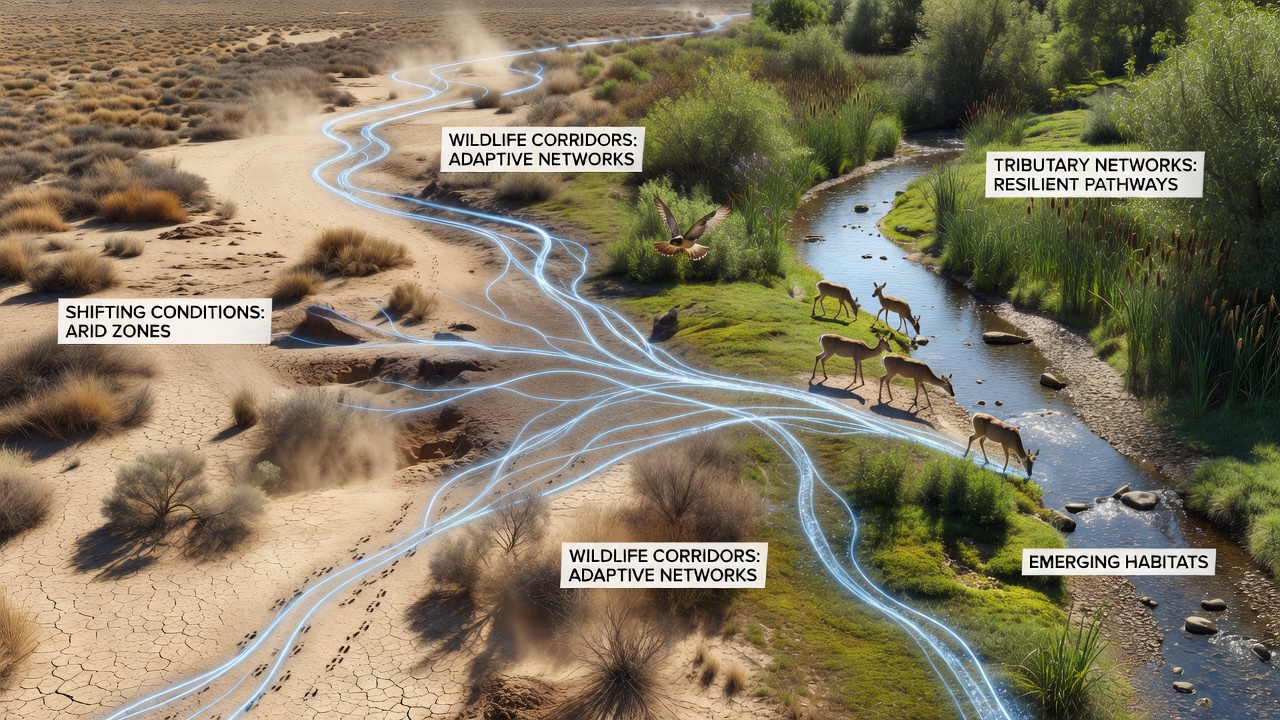
The primary driver remains altered hydrology rather than deliberate habitat restoration. Increased variability in rainfall intensity produces more frequent high-flow pulses that erode new side channels, while longer intervals between large floods allow vegetation to stabilize those channels. Once vegetation takes hold, the corridors persist even when flows return to average levels.
Soil moisture mapping from satellite platforms reveals that many of these new pathways maintain higher water availability than surrounding uplands throughout the dry season. This moisture gradient supports denser shrub and tree cover, which in turn provides cover and forage for a wider range of species. Observers note that the corridors often follow subtle topographic depressions that were previously too dry to support woody plants.
Monitoring and Future Tracking
Long-term monitoring programs have expanded since 2025 to include systematic camera-trap arrays along tributary junctions. Early results indicate that corridor use peaks during dawn and dusk hours for most mammal species, while reptiles show higher activity during midday when temperatures allow faster movement across open ground. These temporal patterns help managers understand when human activities near the corridors might cause the greatest disturbance.
Genetic studies conducted by university teams in both North America and Europe confirm that gene flow between previously separated populations has increased along the new routes. Samples collected from amphibians and small mammals show reduced differentiation compared with samples taken before 2023, suggesting the corridors are already influencing population structure.
Conclusion
Continued observation through the remainder of 2026 and beyond will determine whether these tributary-derived corridors remain stable under changing climate conditions or whether further adjustments in stream networks will shift their locations again. Current evidence indicates that the corridors function as dynamic features whose persistence depends on the balance between flow variability and vegetation establishment rates. Agencies in multiple countries have begun incorporating these findings into habitat connectivity models used for land-use planning.